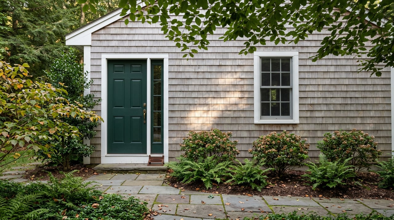
Cohasset's Best Trailhead Isn't in the Woods. It's at the Train Station.
August 27, 2026
August 27, 2026
Most mornings, commuters pull into the parking lot at Cohasset's Greenbush Line station, grab a coffee, and board the train into Boston. Almost none of them notice that the same lot has a second exit. Walk past the platform, cross Route 3A, and the pavement turns to packed stone dust under a canopy of oak and pine. Within a few hundred feet you're standing in the Great Swamp, deep inside a trail system that eventually covers nearly 5,000 acres across four towns.
That's the part of Cohasset's outdoor life that doesn't show up in the usual roundups of pretty hikes. The town's trail network isn't something you drive to on a Saturday. For a meaningful number of residents, it starts at the same spot their commute does.
The trail connecting the train station to the woods has a stranger backstory than its quiet, wooded surface suggests. From 1941 to 1965, the land now known as Wompatuck State Park served as the Hingham Naval Ammunition Depot Annex, a site locals called the Cohasset Annex. A rail spur once ran munitions, including TNT-loaded depth charges and bombs, from the depot to the Old Colony Railroad's Greenbush Line.
When the MBTA revived Greenbush commuter rail service in the 2000s, the state's Department of Conservation and Recreation sold the land needed for the Cohasset station and its parking lot to the MBTA. In exchange, the DCR required the agency to build a public rail trail on the old spur. The Cohasset station opened on October 31, 2007, and the Whitney Spur Rail Trail opened around the same time, running roughly 1.5 miles from the station into the reservation.
For years, a gate blocked access to the park's northwest section, where several abandoned depot buildings were considered unsafe. Demolition began in April 2014, the gate came down that November, and the station lot picked up 20 dedicated parking spaces for trail users. What had been a security perimeter for a Cold War-era munitions site is now a paved, stroller-friendly connector that a commuter could walk before catching an evening train.
Cross 3A and you're in Whitney and Thayer Woods, 824 acres owned by The Trustees of Reservations. The core of the property came from Henry Whitney, an industrialist who began buying up abandoned farmland around 1904 and laid out the bridle paths and carriage roads that still form the main trail bed. The Whitney Woods Association donated more than 600 acres to the Trustees in 1933, with an additional parcel from the Thayer family following about a decade later.
Ten miles of trail wind through the property, and a handful of landmarks make the walk worth remembering rather than just logging:
None of this requires a membership or an entrance fee. The property is free and open sunrise to sunset, year-round.
If you're planning to let a dog off leash here, the rule changes depending on which side of an invisible line you're standing on. Off-leash walking is allowed only west of trail intersections 7 and 20. Cross east of that line, or set foot on neighboring Turkey Hill, and the leash goes back on.
Follow the trail toward the property's eastern edge and the woods give way to open field at Turkey Hill, a 62-acre parcel co-managed by the Trustees with the towns of Cohasset and Hingham, which jointly own the land. The summit sits 187 feet above sea level and delivers one of the more underrated views on the South Shore: Cohasset Harbor, the Boston skyline, the Harbor Islands, Scituate Hill, and the Hull-2 wind turbine, all visible on a clear day.
The hill has a Cold War past of its own. A cinderblock building near the summit is what remains of a Nike anti-missile radar control station, built to help defend against a potential Soviet attack. The town didn't always own this land outright. Starting in October 1995, the Cohasset Conservation Trust worked alongside the Trustees to secure a purchase option, later helping Cohasset cover its share of the cost until the town received a state Self-Help grant. Hingham and Cohasset ended up buying the property jointly, with the Trustees holding the conservation restriction that keeps it open to the public today.
Because Whitney and Thayer Woods, Turkey Hill, and Wompatuck State Park sit edge to edge, it's easy to assume they operate under one set of rules. They don't. Each is owned and managed differently, and that shows up in parking capacity and dog policy alike.
| Property | Size | Trail Mileage | Dog Policy | Main Parking |
|---|---|---|---|---|
| Whitney and Thayer Woods | 824 acres | 10 miles | Off-leash west of Intersections 7 and 20; leashed east of that line | Route 3A, across from Stop & Shop (20 cars) |
| Turkey Hill | 62 acres | Several connector miles | Seasonal leash requirement | Route 3A lot (8 cars) or Turkey Hill Lane off Route 228 (5 cars) |
| Wompatuck State Park | About 3,500 acres | 12 miles paved, roughly 40 miles off-road | Leashed in developed areas; voice-control off-leash elsewhere | Visitor Center, 204 Union Street, or via the Whitney Spur Rail Trail from Cohasset Station |
Knowing which property you're actually standing on matters more than it sounds. A dog off leash on the Whitney Woods side of Intersection 20 is following the rules. The same dog fifty yards away on Turkey Hill is technically breaking them.
Wompatuck itself is the piece that makes this network feel bigger than any one town. The Massachusetts Department of Conservation and Recreation manages roughly 3,500 acres that stretch across Hingham, Cohasset, Scituate, and Norwell, a legacy of the same Naval Ammunition Depot that once fed the Whitney Spur. Over 100 decommissioned bunkers still sit scattered through the park, some visible from the trail, remnants of a use that ended in 1965.
Twelve miles of paved road, closed to vehicles, make for an easy family bike ride. Roughly 40 additional miles of off-road trail cover terrain that draws serious mountain bikers, including one of the longest stretches of switchbacked singletrack in the state. There's also fishing and non-motorized boating on the Aaron River Reservoir, and free spring water at Mt. Blue Spring, drawn from a natural aquifer that's supplied the area since the mid-1800s.
None of this is exclusive to one zip code. A Cohasset resident can walk out of the train station, through Whitney and Thayer Woods, and into Wompatuck's trail system, and come out the other side in Norwell without ever needing a car.
The woods aren't just infrastructure. Groups like the Hingham Land Conservation Trust have led guided fall walks up Turkey Hill, tracing a route along the Weir River, through Weir River Farm's pastures where Belted Galloway cows graze, and up to the hilltop field, often with a local historian such as John Galluzzo narrating the site's shift from colonial farmland to War of 1812 lookout to Cold War radar post. It's the kind of programming that only exists because the land is genuinely used, not just preserved.
That's the thing about this network that a satellite view can't show you. It isn't a single park with one entrance and one purpose. It's a patchwork of separately owned, separately managed parcels that happen to connect at almost every edge, stitched together by a rail spur nobody planned to turn into a trail. For the people who live here, it functions less like a weekend destination and more like an extension of the neighborhood itself, one that happens to start right where the train does.
If you're weighing a move to Cohasset and want a clearer sense of which neighborhoods put you closest to this kind of everyday access, or you're already here and curious what a property near the Whitney Spur or Turkey Hill could be worth in today's market, Erin Freeman knows this stretch of the South Shore block by block. Reach out to schedule a market consultation or request a complimentary home valuation whenever the timing is right.
Stay up to date on the latest real estate trends.
Luxury Real Estate
Get assistance in determining current property value, crafting a competitive offer, writing and negotiating a contract, and much more. Contact me today.